
Magellan
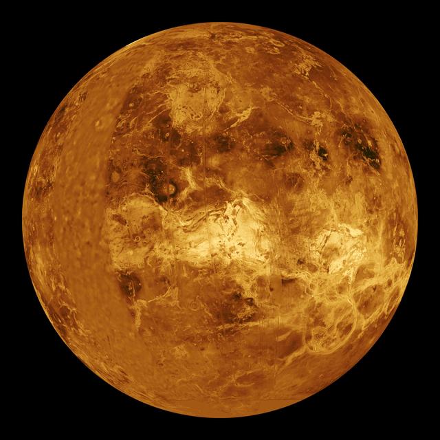
Magellan — radar-mapped 98% of the surface of Venus from orbit (1990–1994) through its permanent cloud cover.
Key facts
Mission & specifications
Mission
- Operator
- NASA
- Launched
- May 4, 1989
- Status
- Completed
Trajectory
- Distance from the Sun
- 0.726 AU
- Computed from the cached position
- Distance from Earth
- 0.326 AU
- Computed from cached positions
- Distance from Venus
- 10,299,862 km
- Computed from cached positions
Cost & funding
- Program cost
- $6.80 × 10⁸ USD
Mission
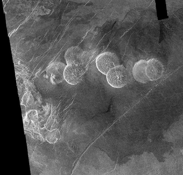
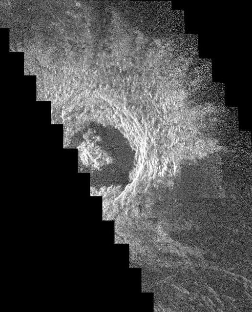
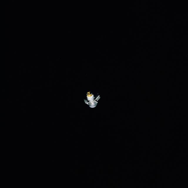
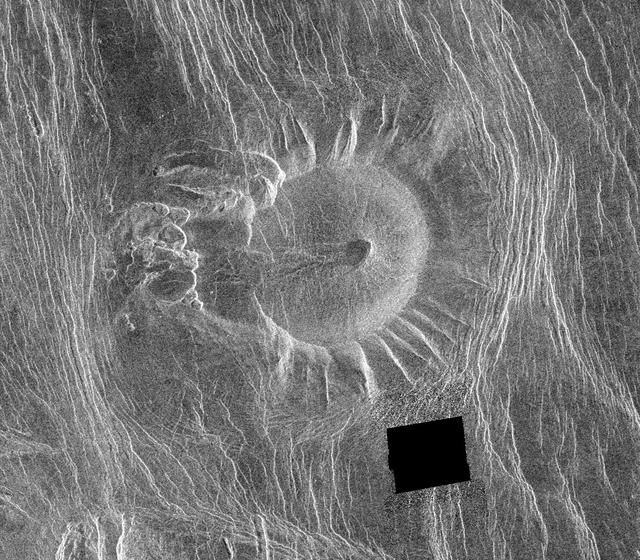
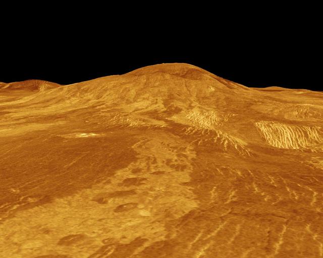
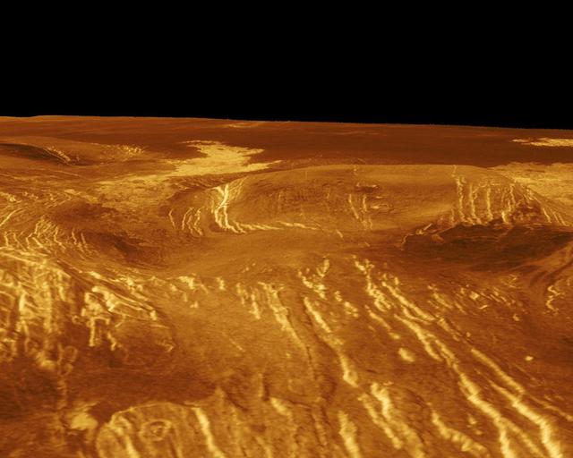
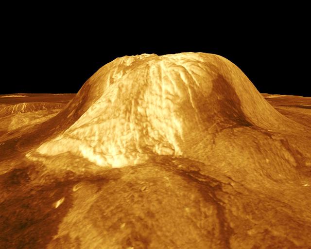
Magellan lifted the veil on Venus, the cloud-shrouded planet whose surface had never been seen. Launched from the Space Shuttle Atlantis on 4 May 1989 — the first interplanetary probe deployed from the Shuttle — it reached Venus in August 1990 and settled into a near-polar orbit. Because Venus's permanent sulphuric-acid clouds block ordinary cameras, Magellan carried imaging radar, which pierced the haze to map the surface in detail. Over four years it imaged 98 percent of the planet at resolutions down to about 100 metres, revealing vast volcanic plains, towering volcanoes, strange 'pancake' domes, fractured highlands and surprisingly few impact craters — evidence that the whole surface had been resurfaced by volcanism a few hundred million years ago. Magellan also mapped Venus's gravity field by precisely tracking its orbit, and pioneered 'aerobraking', dipping into the upper atmosphere to lower its orbit without using fuel. With its mission complete and propellant nearly gone, controllers deliberately plunged Magellan into the Venusian atmosphere in October 1994, gathering final data as it burned up. Its global radar map remains the definitive portrait of Venus's surface to this day.
- 1989Deployed from Space Shuttle AtlantisLaunch
Released in Earth orbit by the Shuttle, then boosted to Venus — the first interplanetary probe launched from the Shuttle.
Magellan enters a near-polar orbit and begins systematic radar mapping through the clouds.
98% of the surface imaged across three mapping cycles, at resolutions down to about 100 m.
- 1993Skims Venus's atmosphere to lower its orbit (aerobraking)Milestone
Dips into the upper atmosphere to circularise its orbit without fuel and map the gravity field.
Out of propellant, Magellan is plunged into the atmosphere, returning data until it burns up.
Images
Images from open archives · credit shown per image